
SA:+27 (0)74 1 04 05 06 Zim: +263 (0)78 4 20 BUILDING DREAMS, ONE BRICK AT A TIME
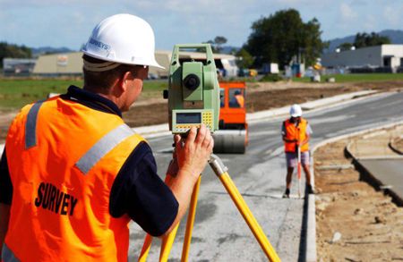
land surveyors
A land surveyor is a licensed professional trained in geomatics and cadastral surveying. In South Africa, only a surveyor registered with the South African Geomatics Council (SAGC) is authorized to perform cadastral (boundary) surveys that become legally binding and registerable at Deeds Office.
Core Roles & Responsibilities
Boundary Determination & Cadastral Surveys
- Establish legal property lines using deed records, physical evidence, maps, and plats.
- Produce certified boundary survey drawings, essential for land transactions and dispute resolution
Construction Layout & Engineering Surveys
- Perform staking and layout surveys to accurately position structures, roads, utilities, and infrastructure according to design plans and legal rights.
Topographic & Terrain Mapping
- Conduct topographic surveys that record elevations, contours, natural features, and built environment elements—used by engineers, architects, and planners .
Legal Reporting & Compliance
- Create audit reports summarizing property size, boundaries, encumbrances, servitudes, flood zones, and potential encroachments.
- Ensure compliance with zoning laws, setbacks, and municipal regulations.
GIS, Cartography & Mapping
- Use GIS, CAD, photogrammetry, and aerial imagery to visualize spatial data and produce maps for various applications—from planning to natural resource management.
Public Sector & Private Practice
- Work across government agencies (e.g., Surveyor General’s offices), private firms, or run independent practices to support real estate, engineering, construction, and legal clients